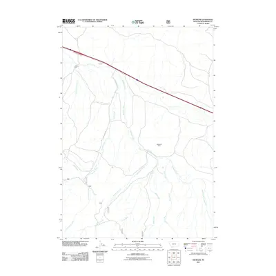
2011 Map of Snowline
USGS Topo · Published 2011About this map
Snowline and the nearby Snowline Ranch occupy a high-drainage landscape in Beaverhead County where multiple creek systems converge. The map documents a complex network of seasonal and perennial waterways, including Junction Creek, Big Beaver Creek, and Shineberger Creek, which carve through the terrain south of the prominent Diamond Butte. This area reflects a land use pattern centered on ranching and livestock movement, exemplified by the presence of the Snowline Stock Ln, a dedicated corridor for moving animals through the drainage basins.
Find a feature on this map
15 named features on this map. Tap any name to fly to it.
Don’t see what you’re looking for? This feature index may not catch every label — zoom into the map to look around manually.
Map Details
Editions of this 2011 Snowline Map
This is the sole edition of this map. No revisions or reprints were ever made.
Other maps of this area

1955 · Dubois
USGS Topo · 1:250,000

1957 · Paul Reservoir
USGS Topo · 1:62,500

1957 · Edie Ranch
USGS Topo · 1:62,500

1958 · Dubois
USGS Topo · 1:250,000

1965 · Lima
USGS Topo · 1:24,000

1965 · Lima Peaks
USGS Topo · 1:24,000

1968 · Lima Dam
USGS Topo · 1:24,000

1968 · Snowline
USGS Topo · 1:24,000

1968 · Monida
USGS Topo · 1:24,000

1968 · Henry Gulch
USGS Topo · 1:24,000