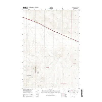
2014 Map of Snowline
USGS Topo · Published 2014About this map
The high-country terrain of Beaverhead National Forest defines this portion of Beaverhead County, where a complex network of drainages feeds into the larger valley systems. The settlement at Snowline occupies a strategic point where the landscape begins its ascent toward the Continental Divide, serving as a landmark along the primary roadway corridor. This area is defined by its water resources, with numerous named streams such as Big Beaver Creek and W Fork Big Beaver Creek carving through the slopes. Distinctive landforms like Diamond Butte provide orienting points for those navigating the backcountry. Access into the forest interior is facilitated by historic routes including Sawmill Creek Rd and Shineberger Rd, which follow the natural contours of the drainages. The naming of features like Warm Springs Creek and Poison Creek hints at the diverse geological and hydrological characteristics found in this section of the Montana wilderness.
Find a feature on this map
22 named features on this map. Tap any name to fly to it.
Don’t see what you’re looking for? This feature index may not catch every label — zoom into the map to look around manually.
Map Details
Editions of this 2014 Snowline Map
This is the sole edition of this map. No revisions or reprints were ever made.
Other maps of this area

1955 · Dubois
USGS Topo · 1:250,000

1957 · Paul Reservoir
USGS Topo · 1:62,500

1957 · Edie Ranch
USGS Topo · 1:62,500

1958 · Dubois
USGS Topo · 1:250,000

1965 · Lima
USGS Topo · 1:24,000

1965 · Lima Peaks
USGS Topo · 1:24,000

1968 · Lima Dam
USGS Topo · 1:24,000

1968 · Snowline
USGS Topo · 1:24,000

1968 · Monida
USGS Topo · 1:24,000

1968 · Henry Gulch
USGS Topo · 1:24,000