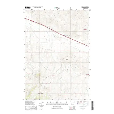
2017 Map of Snowline
USGS Topo · Published 2017About this map
Beaverhead National Forest defines the southern portion of this high-elevation landscape, where numerous drainages carve through the terrain of Beaverhead County. The map is centered on a significant divide where water flows into systems like Big Beaver Creek and Junction Creek. The prominent landmark of Diamond Butte stands as a central navigational point, overlooking a network of remote roads including Sawmill Creek Rd and Shineberger Rd. These routes track the paths of Sawmill Creek and Shineberger Creek, suggesting a history of resource extraction or seasonal grazing. The settlement or locality known as Snowline sits along a primary corridor in the northern section, marking a point of transition between the lower valley stretches and the rising forest boundary. This area serves as a clear record of the complex hydrology of the region, where seasonal waters from Warm Springs Creek and Poison Creek define the geography.
Find a feature on this map
23 named features on this map. Tap any name to fly to it.
Don’t see what you’re looking for? This feature index may not catch every label — zoom into the map to look around manually.
Map Details
Editions of this 2017 Snowline Map
This is the sole edition of this map. No revisions or reprints were ever made.
Other maps of this area

1955 · Dubois
USGS Topo · 1:250,000

1957 · Paul Reservoir
USGS Topo · 1:62,500

1957 · Edie Ranch
USGS Topo · 1:62,500

1958 · Dubois
USGS Topo · 1:250,000

1965 · Lima
USGS Topo · 1:24,000

1965 · Lima Peaks
USGS Topo · 1:24,000

1968 · Lima Dam
USGS Topo · 1:24,000

1968 · Snowline
USGS Topo · 1:24,000

1968 · Monida
USGS Topo · 1:24,000

1968 · Henry Gulch
USGS Topo · 1:24,000