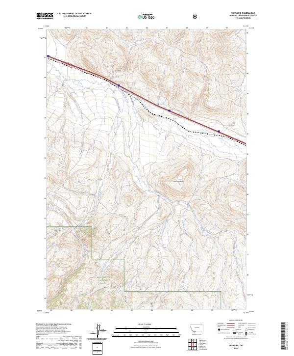
2024 Map of Snowline
USGS Topo · Published 2024About this map
Beaverhead National Forest lands dominate the southwestern portion of this landscape, marking a rugged transition into high country along the Montana-Idaho border region. The area is defined by a dense network of mountain drainages, including Big Beaver Creek, Junction Creek, and Shineberger Creek, which carve through the high terrain beneath the prominent summit of Diamond Butte. The presence of the Snowline Stock Ln and its southern branch, S Snowline Stock Ln, indicates the historic and ongoing importance of livestock movement through these mountain passes. Roadways like Sawmill Creek Rd and Shineberger Rd provide access into the deeper timber and creek bottoms, tracing the routes once used for resource extraction and land management in this remote corner of Beaverhead County.
Find a feature on this map
20 named features on this map. Tap any name to fly to it.
Don’t see what you’re looking for? This feature index may not catch every label — zoom into the map to look around manually.
Map Details
Editions of this 2024 Snowline Map
This is the sole edition of this map. No revisions or reprints were ever made.
Other maps of this area

1955 · Dubois
USGS Topo · 1:250,000

1957 · Paul Reservoir
USGS Topo · 1:62,500

1957 · Edie Ranch
USGS Topo · 1:62,500

1958 · Dubois
USGS Topo · 1:250,000

1965 · Lima
USGS Topo · 1:24,000

1965 · Lima Peaks
USGS Topo · 1:24,000

1968 · Lima Dam
USGS Topo · 1:24,000

1968 · Snowline
USGS Topo · 1:24,000

1968 · Monida
USGS Topo · 1:24,000

1968 · Henry Gulch
USGS Topo · 1:24,000