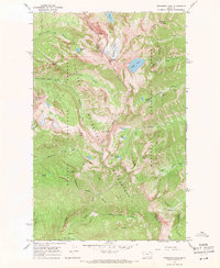
1966 Map of Snowshoe Peak
USGS Topo · Published 1971About this map
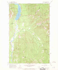
Snowshoe Peak dominates the center of this 1960s survey, marking the intersection of the Cabinet Mountains Wilderness and two sprawling national forests. This area, straddling the boundary of Lincoln and Sanders counties, preserves a legacy of high-elevation mining and remote mountain travel. The eastern slopes of the range show the operations at Snowshoe Mine and St Paul Mine, situated near the headwaters of Snowshoe Creek. These sites, accessed by a network of pack trails, illustrate the late-stage prospecting that continued into the mid-century within the Kootenai National Forest.
Find a feature on this map
46 named features on this map. Tap any name to fly to it.
Don’t see what you’re looking for? This feature index may not catch every label — zoom into the map to look around manually.
Map Details
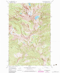
Editions of this 1966 Snowshoe Peak Map
2 editions found
Other maps of this area

1920 · Libby
USGS Topo · 1:125,000

1930 · Libby
USGS Topo · 1:125,000

1932 · Libby
USGS Topo · 1:125,000

1957 · Kalispell
USGS Topo · 1:250,000

1960 · Kalispell
USGS Topo · 1:250,000

1961 · Kalispell
USGS Topo · 1:250,000

1963 · Treasure Mountain
USGS Topo · 1:24,000
1963 · Crowell Mountain
USGS Topo · 1:24,000
1963 · Little Hoodoo Mountain
USGS Topo · 1:24,000
1966 · Ibex Peak
USGS Topo · 1:24,000