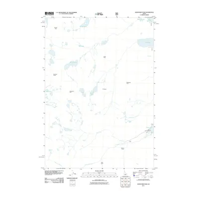
2011 Map of Snowyside Peak
USGS Topo · Published 2011About this map
Snowyside Peak stands as the central landmark in this high-altitude section of the Sawtooth Range, where the landscape is defined by a dense concentration of glacial lakes and granite summits. The hydrology of the region is notably complex, with headwaters such as Alpine Creek and Alturas Lake Creek draining the eastern slopes toward Alturas Lake. In the northern half of the quadrangle, a chain of water bodies including Pettit Lake, Imogene Lake, and the smaller Yellow Belly Lake illustrates the classic cirque-and-valley formation of the Idaho backcountry.
Find a feature on this map
24 named features on this map. Tap any name to fly to it.
Don’t see what you’re looking for? This feature index may not catch every label — zoom into the map to look around manually.
Map Details
Editions of this 2011 Snowyside Peak Map
This is the sole edition of this map. No revisions or reprints were ever made.
Other maps of this area

1891 · Bear Valley
USGS Topo · 1:125,000

1893 · Bear Valley
USGS Topo · 1:125,000

1894 · Rocky Bar
USGS Topo · 1:125,000

1900 · Sawtooth
USGS Topo · 1:125,000

1919 · Custer
USGS Topo · 1:125,000

1922 · Custer
USGS Topo · 1:125,000

1955 · Hailey
USGS Topo · 1:250,000

1957 · Challis
USGS Topo · 1:250,000

1959 · Hailey
USGS Topo · 1:250,000

1960 · Challis
USGS Topo · 1:250,000