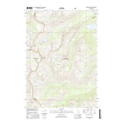
2017 Map of Snowyside Peak
USGS Topo · Published 2017About this map
Snowyside Peak stands at the center of this high-elevation wilderness where the borders of Elmore, Blaine, Custer, and Boise counties meet. This 2017 survey documents the dramatic glaciated landscape of the Sawtooth Range, characterized by dozens of alpine basins and granite spires. The map reveals a dense network of water bodies, from the larger Pettit Lake and Alturas Lake on the eastern edge to the high-country waters of Alice Lake, Toxaway Lake, and the Tenlake Basin.
Find a feature on this map
54 named features on this map. Tap any name to fly to it.
Don’t see what you’re looking for? This feature index may not catch every label — zoom into the map to look around manually.
Map Details
Editions of this 2017 Snowyside Peak Map
This is the sole edition of this map. No revisions or reprints were ever made.
Other maps of this area

1891 · Bear Valley
USGS Topo · 1:125,000

1893 · Bear Valley
USGS Topo · 1:125,000

1894 · Rocky Bar
USGS Topo · 1:125,000

1900 · Sawtooth
USGS Topo · 1:125,000

1919 · Custer
USGS Topo · 1:125,000

1922 · Custer
USGS Topo · 1:125,000

1955 · Hailey
USGS Topo · 1:250,000

1957 · Challis
USGS Topo · 1:250,000

1959 · Hailey
USGS Topo · 1:250,000

1960 · Challis
USGS Topo · 1:250,000