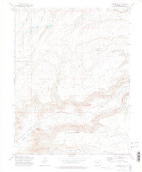
1972 Map of Snyder Flats
USGS Topo · Published 1975About this map
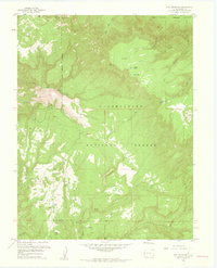
Unaweep Canyon dominates the southern landscape of this 1972 survey, carved between the high plateaus of the Grand Mesa National Forest and the Uncompahgre National Forest. The dramatic transition from the high mesa to the canyon floor is marked by the Unaweep Divide, where water flows either east toward North East Creek or west into West Creek. This high-altitude terrain is characterized by a sparse human footprint, primarily represented by the Eighteenmile Road and various Jeep Trails that traverse the eponymous Snyder Flats.
Find a feature on this map
27 named features on this map. Tap any name to fly to it.
Don’t see what you’re looking for? This feature index may not catch every label — zoom into the map to look around manually.
Map Details
Editions of this 1972 Snyder Flats Map
3 editions found
Other maps of this area

1950 · Pine Mountain
USGS Topo · 1:24,000

1956 · Moab
USGS Topo · 1:250,000

1959 · Moab
USGS Topo · 1:250,000

1960 · Moab
USGS Topo · 1:250,000
1960 · Gateway
USGS Topo · 1:62,500
1960 · Pine Mountain
USGS Topo · 1:24,000

1962 · Moab
USGS Topo · 1:250,000

1964 · Moab
USGS Topo · 1:250,000

1965 · Moab
USGS Topo · 1:250,000
1969 · Glade Park
USGS Topo · 1:24,000