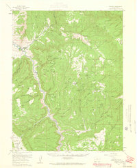
1960 Map of Gateway
USGS Topo · Published 1961About this map
Gateway serves as the focal point for this 1960s study of western Colorado, where the Dolores River winds through a landscape of high mesas and deep canyons. The map documents a significant era of mineral exploration across the Uncompahgre National Forest, evidenced by a dense network of uranium and vanadium operations including the New Verde Mines, Liberty Bell No 2 Mine, and Peach Mine. Mining life is anchored by specific residential outposts such as Calamity Camp and Tenderfoot Camp, which stand in contrast to the remote natural features like the prominent Juanita Arch. Large geological formations such as Tenderfoot Mesa and Outlaw Mesa dominate the terrain, separated by intricate drainages like Unaweep Canyon and Salt Creek. This survey captures the region's mid-century transition as an Airstrip near Arrowhead Camp hints at increasing accessibility for these remote mountain industries.
Find a feature on this map
77 named features on this map. Tap any name to fly to it.
Don’t see what you’re looking for? This feature index may not catch every label — zoom into the map to look around manually.
Map Details
Editions of this 1960 Gateway Map
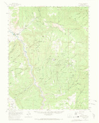
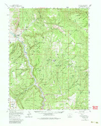
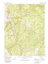
4 editions found
Other maps of this area

1885 · La Sal
USGS Topo · 1:250,000

1916 · Paradox Valley
USGS Topo · 1:125,000

1922 · Paradox Valley
USGS Topo · 1:125,000

1948 · Roc Creek
USGS Topo · 1:24,000

1949 · Roc Creek
USGS Topo · 1:24,000

1949 · Juanita Arch
USGS Topo · 1:24,000

1949 · Atkinson Creek
USGS Topo · 1:24,000

1949 · Red Canyon
USGS Topo · 1:24,000

1949 · Calamity Mesa
USGS Topo · 1:24,000

1949 · Gateway
USGS Topo · 1:24,000