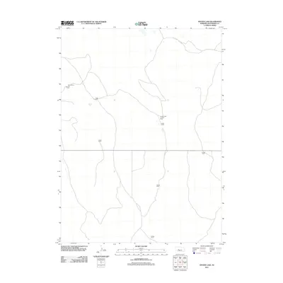
2011 Map of Snyder Lake
USGS Topo · Published 2011About this map
The vast Nebraska Sandhills of McPherson County define this 2011 survey, showing a landscape shaped by remote cattle ranching and a sparse transportation network. Large landholdings like Melvin Ranch, Trego Ranch, and Snyder Ranch are the primary landmarks, reflecting the generational livestock operations of the region. A notable hub of activity in this isolated territory is the Snyder Lake Landing Strip, which provides a vital link to more populated areas across the grassy dunes. Tracing the section lines and thin local roads reveals the distribution of family-named settlements, including Dikeman Ranch and Kellogg Ranch, each situated miles apart in a region where the natural topography dictates the placement of homesteads and infrastructure.
Find a feature on this map
9 named features on this map. Tap any name to fly to it.
Don’t see what you’re looking for? This feature index may not catch every label — zoom into the map to look around manually.
Map Details
Editions of this 2011 Snyder Lake Map
This is the sole edition of this map. No revisions or reprints were ever made.
Other maps of this area

1898 · Paxton
USGS Topo · 1:125,000

1901 · Paxton
USGS Topo · 1:125,000

1949 · Flats
USGS Topo · 1:62,500

1949 · Wright Valley
USGS Topo · 1:62,500

1950 · Flats
USGS Topo · 1:62,500

1951 · Wright Valley
USGS Topo · 1:62,500

1954 · North Platte
USGS Topo · 1:250,000

1956 · North Platte
USGS Topo · 1:250,000

1957 · North Platte
USGS Topo · 1:250,000

1967 · North Platte
USGS Topo · 1:250,000