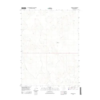
2014 Map of Snyder Lake
USGS Topo · Published 2014About this map
Tin Camp Ranch and the Snyder Ranch Airport anchor this section of the Nebraska Sandhills in McPherson County. The landscape is defined by its isolation and the practical necessities of ranching in a region where large distances between settlements require private aviation and reliable road access. Ne-92 serves as the primary east-west corridor across the central part of the quadrangle, providing the lifeline through the rolling dune topography typical of the area. Local travel is further supported by unpaved routes like Soddy Rd, which likely traces its name to the sod houses once common in this treeless prairie environment. This 2014 survey documents a modern snapshot of a sparsely populated landscape where land use remains dedicated to the cattle industry and specialized ranch infrastructure.
Find a feature on this map
4 named features on this map. Tap any name to fly to it.
Don’t see what you’re looking for? This feature index may not catch every label — zoom into the map to look around manually.
Map Details
Editions of this 2014 Snyder Lake Map
This is the sole edition of this map. No revisions or reprints were ever made.
Other maps of this area

1898 · Paxton
USGS Topo · 1:125,000

1901 · Paxton
USGS Topo · 1:125,000

1949 · Flats
USGS Topo · 1:62,500

1949 · Wright Valley
USGS Topo · 1:62,500

1950 · Flats
USGS Topo · 1:62,500

1951 · Wright Valley
USGS Topo · 1:62,500

1954 · North Platte
USGS Topo · 1:250,000

1956 · North Platte
USGS Topo · 1:250,000

1957 · North Platte
USGS Topo · 1:250,000

1967 · North Platte
USGS Topo · 1:250,000