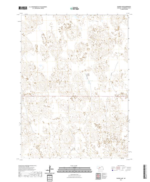
2021 Map of Snyder Lake
USGS Topo · Published 2021About this map
Snyder Lake serves as the central geographic landmark of this ranching landscape in McPherson County. The terrain is defined by the complex hydrography of the Sandhills, where ephemeral water features and undulating contours shape the land use. The presence of the Snyder Ranch Airport underscores the vast distances and the reliance on private aviation for connectivity in this part of Nebraska. Local movement is facilitated by a network of named tracks and rural roads, including Soddy Rd and Tin Camp Rd, which weave through the townships of t19n r34w and t19n r33w. This 2021 survey provides a clear view of the modern ranching infrastructure, from the private landing strip to the remote road alignments like Melvin Dr that serve isolated homesteads and pastures.
Find a feature on this map
9 named features on this map. Tap any name to fly to it.
Don’t see what you’re looking for? This feature index may not catch every label — zoom into the map to look around manually.
Map Details
Editions of this 2021 Snyder Lake Map
This is the sole edition of this map. No revisions or reprints were ever made.
Other maps of this area

1898 · Paxton
USGS Topo · 1:125,000

1901 · Paxton
USGS Topo · 1:125,000

1949 · Flats
USGS Topo · 1:62,500

1949 · Wright Valley
USGS Topo · 1:62,500

1950 · Flats
USGS Topo · 1:62,500

1951 · Wright Valley
USGS Topo · 1:62,500

1954 · North Platte
USGS Topo · 1:250,000

1956 · North Platte
USGS Topo · 1:250,000

1957 · North Platte
USGS Topo · 1:250,000

1967 · North Platte
USGS Topo · 1:250,000