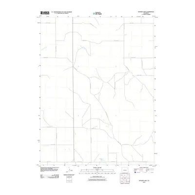
2010 Map of Snyder Lake
USGS Topo · Published 2010About this map
Snyder Lake serves as a small water landmark in this section of Washington County, where the landscape is defined by a rigorous grid of section lines and gravel corridors. The drainage patterns of Hell Creek and Brunker Creek meander across the plains, offering a natural contrast to the geometric precision of the county road system. This 2010 survey illustrates a sparsely settled agricultural region where transportation relies on routes like County Road SS and County Road UU. The presence of Cemetery Rd points toward localized community history and family heritage sites, providing a tangible link to the area's rural development and the families who established homesteads along these reaches.
Find a feature on this map
16 named features on this map. Tap any name to fly to it.
Don’t see what you’re looking for? This feature index may not catch every label — zoom into the map to look around manually.
Map Details
Editions of this 2010 Snyder Lake Map
This is the sole edition of this map. No revisions or reprints were ever made.
Other maps of this area

1954 · Limon
USGS Topo · 1:250,000

1954 · Sterling
USGS Topo · 1:250,000

1957 · Limon
USGS Topo · 1:250,000

1958 · Limon
USGS Topo · 1:250,000

1958 · Sterling
USGS Topo · 1:250,000

1972 · Otis
USGS Topo · 1:24,000

1972 · Hyde
USGS Topo · 1:24,000

1972 · Snyder Lake
USGS Topo · 1:24,000

1972 · Otis SE
USGS Topo · 1:24,000

1973 · Platner
USGS Topo · 1:24,000