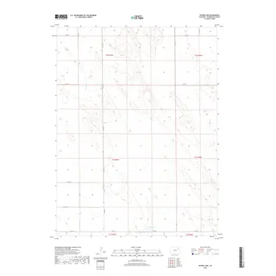
2019 Map of Snyder Lake
USGS Topo · Published 2019About this map
Snyder Lake serves as a central landmark in this high plains landscape of northeastern Colorado, where the terrain is defined by subtle drainage systems and a rigid section-line road network. The ephemeral watercourses of Bunker Cr and Hell Cr suggest a seasonally dry environment where water management was vital for the early 21st-century cattle ranching or dryland farming operations common to Washington County. The map provides a clear view of the Public Land Survey System boundaries, including the intersection of t1n r50w and t2n r50w. A grid of rural routes such as Co Road Rr and Co Rd 30 connects the vast, open acreage, tracing the paths established by generations of landholders in this quiet corner of the state.
Find a feature on this map
17 named features on this map. Tap any name to fly to it.
Don’t see what you’re looking for? This feature index may not catch every label — zoom into the map to look around manually.
Map Details
Editions of this 2019 Snyder Lake Map
This is the sole edition of this map. No revisions or reprints were ever made.
Other maps of this area

1954 · Limon
USGS Topo · 1:250,000

1954 · Sterling
USGS Topo · 1:250,000

1957 · Limon
USGS Topo · 1:250,000

1958 · Limon
USGS Topo · 1:250,000

1958 · Sterling
USGS Topo · 1:250,000

1972 · Otis
USGS Topo · 1:24,000

1972 · Hyde
USGS Topo · 1:24,000

1972 · Snyder Lake
USGS Topo · 1:24,000

1972 · Otis SE
USGS Topo · 1:24,000

1973 · Platner
USGS Topo · 1:24,000