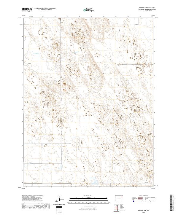
2022 Map of Snyder Lake
USGS Topo · Published 2022About this map
Snyder Lake lies at the southern edge of this modern Colorado plains landscape, a sparse region defined by its alphanumeric grid of county roads and intermittent waterways. The terrain is marked by the seasonal flows of Brunker Cr in the north and Hell Cr further south, both of which traverse a topography of gentle depressions and low rises in Washington County. The map details the precise township and range boundaries including t1n r50w and t2n r49w, illustrating the geometric land divisions typical of the American West.
Find a feature on this map
19 named features on this map. Tap any name to fly to it.
Don’t see what you’re looking for? This feature index may not catch every label — zoom into the map to look around manually.
Map Details
Editions of this 2022 Snyder Lake Map
This is the sole edition of this map. No revisions or reprints were ever made.
Other maps of this area

1954 · Limon
USGS Topo · 1:250,000

1954 · Sterling
USGS Topo · 1:250,000

1957 · Limon
USGS Topo · 1:250,000

1958 · Limon
USGS Topo · 1:250,000

1958 · Sterling
USGS Topo · 1:250,000

1972 · Otis
USGS Topo · 1:24,000

1972 · Hyde
USGS Topo · 1:24,000

1972 · Snyder Lake
USGS Topo · 1:24,000

1972 · Otis SE
USGS Topo · 1:24,000

1973 · Platner
USGS Topo · 1:24,000