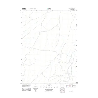
2012 Map of Soap Holes
USGS Topo · Published 2012About this map
Happy Spring Cr and Haypress Cr define the hydrological character of this high-plains landscape in Fremont County. The map details a network of unpaved roads and trails that intersect the arid terrain, providing access to the namesake Soap Holes, a localized drainage and topographic feature. To the northwest, the elevation rises toward Bull Canyon, where the landscape transitions into more complex relief. This 2012 survey serves as a precise record of contemporary land use and water management in a region where seasonal drainages are critical to the local geography. The layout of ranch roads and sections reflects the persistent grid of the Public Land Survey System, illustrating how modern infrastructure continues to navigate the natural contours of the Wyoming basin.
Find a feature on this map
4 named features on this map. Tap any name to fly to it.
Don’t see what you’re looking for? This feature index may not catch every label — zoom into the map to look around manually.
Map Details
Editions of this 2012 Soap Holes Map
This is the sole edition of this map. No revisions or reprints were ever made.
Other maps of this area

1951 · Soap Holes
USGS Topo · 1:24,000

1951 · Graham Ranch
USGS Topo · 1:24,000

1951 · Crooks Mountain
USGS Topo · 1:24,000

1951 · Myers Ranch
USGS Topo · 1:24,000

1953 · Sweetwater Station
USGS Topo · 1:24,000

1953 · Happy Spring
USGS Topo · 1:24,000

1955 · Lander
USGS Topo · 1:250,000

1955 · Casper
USGS Topo · 1:250,000

1958 · Casper
USGS Topo · 1:250,000

1958 · Lander
USGS Topo · 1:250,000