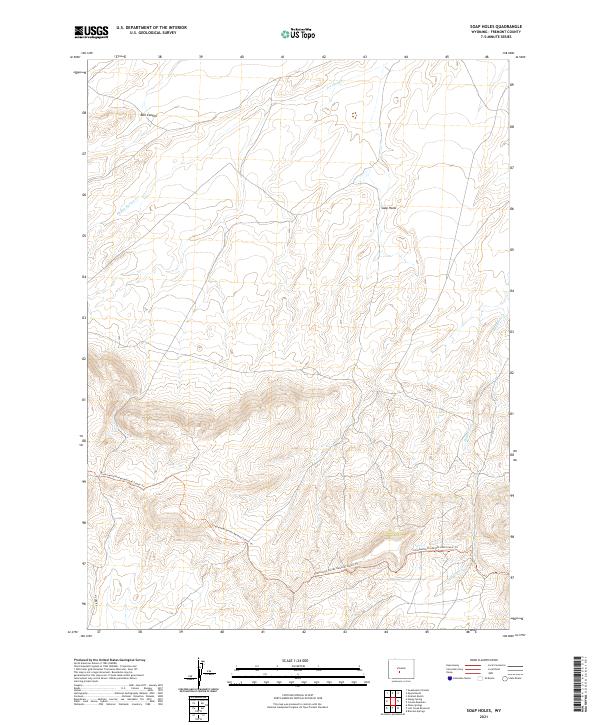
2021 Map of Soap Holes
USGS Topo · Published 2021About this map
The Continental Divide National Scenic Trl snakes through the high-elevation terrain of Fremont County, following the winding contours of the Great Divide. This high-desert landscape is defined by its subtle drainage patterns, where the waters of Ice Slough and Happy Spring Cr cut through the arid soil of the Soap Holes region. The mapping reflects a rugged Wyoming landscape largely shaped by natural hydrology and elevation rather than dense human settlement, revealing how the local geography dictates the route of major recreational corridors.
Find a feature on this map
10 named features on this map. Tap any name to fly to it.
Don’t see what you’re looking for? This feature index may not catch every label — zoom into the map to look around manually.
Map Details
Editions of this 2021 Soap Holes Map
This is the sole edition of this map. No revisions or reprints were ever made.
Other maps of this area

1951 · Soap Holes
USGS Topo · 1:24,000

1951 · Graham Ranch
USGS Topo · 1:24,000

1951 · Crooks Mountain
USGS Topo · 1:24,000

1951 · Myers Ranch
USGS Topo · 1:24,000

1953 · Sweetwater Station
USGS Topo · 1:24,000

1953 · Happy Spring
USGS Topo · 1:24,000

1955 · Lander
USGS Topo · 1:250,000

1955 · Casper
USGS Topo · 1:250,000

1958 · Casper
USGS Topo · 1:250,000

1958 · Lander
USGS Topo · 1:250,000