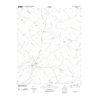
2011 Map of Social Circle
USGS Topo · Published 2011About this map
Social Circle serves as the primary hub in this Georgia landscape, situated at the convergence of historic road networks including the Jersey Social Circle Rd and Malcolm Rd. The area is defined by its numerous small-scale reservoirs and dams, such as McGarity Lake and Baccus Lake, which manage the drainage of several local waterways including Means Creek and Hard Labor Creek. Notable family and community burial grounds, such as Circle View Cemetery and the Hollis and Sigman Cemetery, are scattered across the quadrangle, reflecting generations of local residency.
Find a feature on this map
99 named features on this map. Tap any name to fly to it.
Don’t see what you’re looking for? This feature index may not catch every label — zoom into the map to look around manually.
Map Details
Editions of this 2011 Social Circle Map
This is the sole edition of this map. No revisions or reprints were ever made.
Other maps of this area

1896 · Monroe
USGS Topo · 1:125,000

1953 · Athens
USGS Topo · 1:250,000

1958 · Athens
USGS Topo · 1:250,000

1959 · Athens
USGS Topo · 1:250,000

1963 · Athens
USGS Topo · 1:250,000

1964 · Between
USGS Topo · 1:24,000

1964 · High Shoals
USGS Topo · 1:24,000

1964 · Monroe
USGS Topo · 1:24,000

1964 · Covington
USGS Topo · 1:24,000
1964 · Jersey
USGS Topo · 1:24,000