2024 Map of Social Circle
USGS Topo · Published 2024About this map
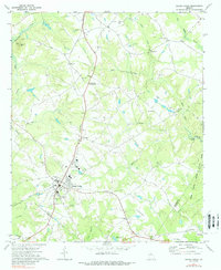
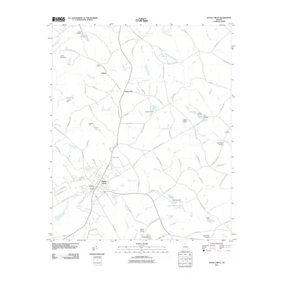
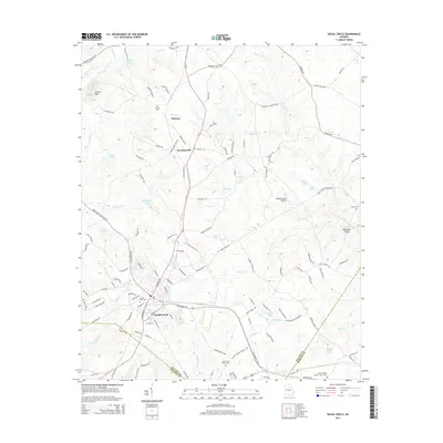
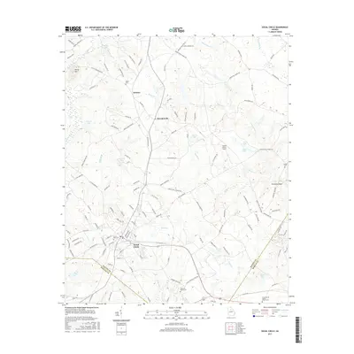
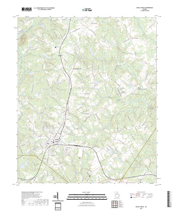
Social Circle serves as the primary hub of this landscape, where the CSX Transportation railroad intersects with a network of historic routes like W Hightower Trl. The area is notably dense with family and community burial grounds, providing a significant resource for genealogical research. Features such as Circle View Cem, Moore Cem, and the Union Springs Baptist Church Cem are scattered across the terrain, reflecting generations of local settlement. Outside the main town, smaller communities like Whitney and Herndonville dot the map, connected by a web of rural roads.
Find a feature on this map
142 named features on this map. Tap any name to fly to it.
Don’t see what you’re looking for? This feature index may not catch every label — zoom into the map to look around manually.
Map Details
Editions of this 2024 Social Circle Map
This is the sole edition of this map. No revisions or reprints were ever made.
Historical Maps of Social Circle Through Time
6 maps found