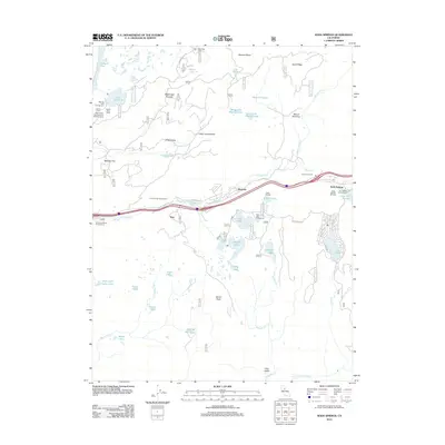
2012 Map of Soda Springs
USGS Topo · Published 2012About this map
Soda Springs serves as a central hub for alpine recreation and travel in this High Sierra landscape. The high-elevation terrain is defined by the S Yuba River and the N Fork American River, separated by prominent heights such as Devils Peak and Magonigal Summit. The settlement pattern follows the corridor of Interstate 80, linking Kingvale and Troy with seasonal retreats and outdoor camps. The area is dense with recreational history, featuring the Soda Springs Ski Area, Camp Pahatsi, and the Glacier Trails Boy Scouts of America Camp. Water management and natural lakes are prevalent throughout the granite basins, from the large Fordyce Lake and Lake Van Norden to smaller alpine tarns like High Loch Leven Lake and Catfish Lake. Huntley Mill Lake suggests earlier industrial activities in a region now primarily focused on conservation and winter sports.
Find a feature on this map
76 named features on this map. Tap any name to fly to it.
Don’t see what you’re looking for? This feature index may not catch every label — zoom into the map to look around manually.
Map Details
Editions of this 2012 Soda Springs Map
This is the sole edition of this map. No revisions or reprints were ever made.
Other maps of this area

1891 · Colfax
USGS Topo · 1:125,000

1891 · Truckee
USGS Topo · 1:125,000

1892 · Colfax
USGS Topo · 1:125,000

1893 · Truckee
USGS Topo · 1:125,000

1894 · Colfax
USGS Topo · 1:125,000

1895 · Truckee
USGS Topo · 1:125,000

1898 · Colfax
USGS Topo · 1:125,000

1900 · Colfax
USGS Topo · 1:125,000

1902 · Colfax
USGS Topo · 1:125,000

1932 · Truckee
USGS Topo · 1:96,000