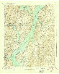
1939 Map of Soddy Island
USGS Topo · Published 1939About this map
The rising waters of the ChickAMAUGA Reservoir dominate this Hamilton County landscape, following the Tennessee Valley Authority’s mid-century transformations. The 1939 survey captures the inundation of the Tennessee River valley, where newly formed inlets reach deep into the countryside along Soddy Creek and Possum Creek. Amidst this changing geography, established community life remains visible through a dense network of country institutions, including Bakewell Sch, Salem Sch, and numerous family-named burial grounds like Thatcher Cem and Patterson Cem. These sites, along with Mt Tabor Community Ch and Friendship Ch, highlight the rural social fabric that persisted as the hydroelectric projects of the era reshaped the terrain. The presence of the Southern Ry and the Hodgetown Highway on the western shore suggests the enduring transport corridors that connected these riverine settlements to the wider region.
Find a feature on this map
49 named features on this map. Tap any name to fly to it.
Don’t see what you’re looking for? This feature index may not catch every label — zoom into the map to look around manually.
Map Details
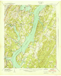
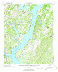
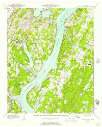
Editions of this 1939 Soddy Island Map
4 editions found
Other maps of this area

1886 · Cleveland
USGS Topo · 1:125,000

1888 · Chattanooga
USGS Topo · 1:125,000

1892 · Cleveland
USGS Topo · 1:125,000

1893 · Chattanooga
USGS Topo · 1:125,000

1895 · Cleveland
USGS Topo · 1:125,000

1901 · Cleveland
USGS Topo · 1:125,000

1935 · Daisy
USGS Topo · 1:24,000

1935 · Soddy
USGS Topo · 1:24,000

1935 · Snow Hill
USGS Topo · 1:24,000

1935 · Brayton
USGS Topo · 1:24,000