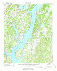
1939 Map of Soddy Island
USGS Topo · Published 1957About this map
The Tennessee River corridor north of Chattanooga is captured here during a transformative era of hydroelectric development, shortly after the impoundment of Chickamauga Lake. The water dominates the landscape, backing into deep inlets like Possum Creek and Sale Creek, while Soddy Island sits at the confluence where Soddy Creek meets the main channel.
Find a feature on this map
91 named features on this map. Tap any name to fly to it.
Don’t see what you’re looking for? This feature index may not catch every label — zoom into the map to look around manually.
Map Details
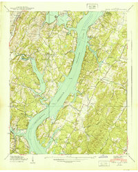
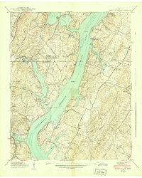
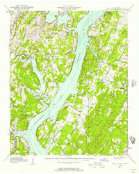
Editions of this 1939 Soddy Island Map
4 editions found
Other maps of this area

1886 · Cleveland
USGS Topo · 1:125,000

1888 · Chattanooga
USGS Topo · 1:125,000

1892 · Cleveland
USGS Topo · 1:125,000

1893 · Chattanooga
USGS Topo · 1:125,000

1895 · Cleveland
USGS Topo · 1:125,000

1901 · Cleveland
USGS Topo · 1:125,000

1935 · Daisy
USGS Topo · 1:24,000

1935 · Soddy
USGS Topo · 1:24,000

1935 · Snow Hill
USGS Topo · 1:24,000

1935 · Brayton
USGS Topo · 1:24,000