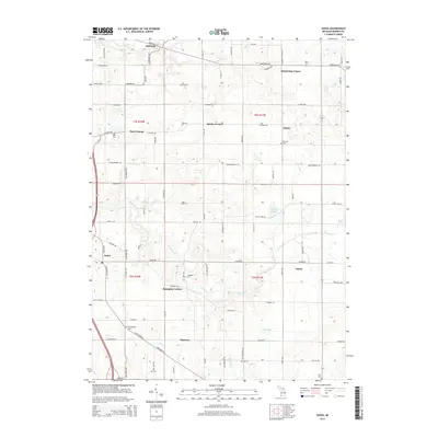
2014 Map of Sodus
USGS Topo · Published 2014About this map
Sodus and several other rural crossroad settlements define this landscape in Berrien County, where an intricate network of local roads connects scattered farmsteads and orchards. The region is characterized by its agricultural layout, punctuated by small community centers like Shanghai Corners and Spinks Corners. Numerous family and community burial grounds, such as Byers Cem, Pearl Cem, and Mt Pleasant Cem, are preserved across the terrain, offering significant points of interest for genealogists tracing local lineage.
Find a feature on this map
82 named features on this map. Tap any name to fly to it.
Don’t see what you’re looking for? This feature index may not catch every label — zoom into the map to look around manually.
Map Details
Editions of this 2014 Sodus Map
This is the sole edition of this map. No revisions or reprints were ever made.
Other maps of this area

1927 · Niles
USGS Topo · 1:62,500

1927 · Hartford
USGS Topo · 1:62,500

1927 · Benton Harbor
USGS Topo · 1:62,500

1930 · Benton Harbor
USGS Topo · 1:62,500

1930 · Niles
USGS Topo · 1:62,500

1931 · Hartford
USGS Topo · 1:62,500

1943 · Niles
USGS Topo · 1:62,500

1945 · Cassopolis
USGS Topo · 1:62,500

1947 · Cassopolis
USGS Topo · 1:62,500

1953 · Chicago
USGS Topo · 1:250,000