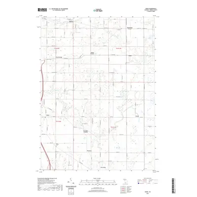
2019 Map of Sodus
USGS Topo · Published 2019About this map
Sodus and its surrounding fruit-growing countryside are defined by a network of creeks and small family settlements. In the northern sections, Millburg sits near the sharp bend of Gordons Curve, while agricultural hamlets like Pearl Grange and Spinks Corners populate the interior sections of t4s r18w. The landscape is etched with the courses of Pipestone Creek and Love Creek, which wind through a terrain dotted with significant local landmarks including the Mount Pleasant Cemetery and Shanghai Cemetery. At the southern edge of the survey, the village of Eau Claire marks a primary junction point. This map provides a clear record of the rural road network and small-scale water bodies like Mills Lake and Black Lake that have shaped the development of Berrien County.
Find a feature on this map
83 named features on this map. Tap any name to fly to it.
Don’t see what you’re looking for? This feature index may not catch every label — zoom into the map to look around manually.
Map Details
Editions of this 2019 Sodus Map
This is the sole edition of this map. No revisions or reprints were ever made.
Other maps of this area

1927 · Niles
USGS Topo · 1:62,500

1927 · Hartford
USGS Topo · 1:62,500

1927 · Benton Harbor
USGS Topo · 1:62,500

1930 · Benton Harbor
USGS Topo · 1:62,500

1930 · Niles
USGS Topo · 1:62,500

1931 · Hartford
USGS Topo · 1:62,500

1943 · Niles
USGS Topo · 1:62,500

1945 · Cassopolis
USGS Topo · 1:62,500

1947 · Cassopolis
USGS Topo · 1:62,500

1953 · Chicago
USGS Topo · 1:250,000