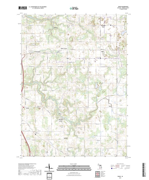
2023 Map of Sodus
USGS Topo · Published 2023About this map
Shanghai Corners and the surrounding agricultural landscapes of Berrien County define this region, where traditional farming crossroads persist alongside modern thoroughfares. The landscape is marked by a dense concentration of family and community burial grounds, such as Mount Pleasant Cem and the Penn Yan Cem, which speak to the deep-rooted settlement history of townships like Sodus and Millburg. Waterways like Pipestone Creek and Blue Creek carve through the terrain, historically influencing the placement of settlements like Hartman and Spinks Corners. The grid of local roads, including Territorial Rd and Naomi Rd, connects these small communities and provides a clear view of the rural development patterns that have endured into the twenty-first century.
Find a feature on this map
81 named features on this map. Tap any name to fly to it.
Don’t see what you’re looking for? This feature index may not catch every label — zoom into the map to look around manually.
Map Details
Editions of this 2023 Sodus Map
This is the sole edition of this map. No revisions or reprints were ever made.
Other maps of this area

1927 · Niles
USGS Topo · 1:62,500

1927 · Hartford
USGS Topo · 1:62,500

1927 · Benton Harbor
USGS Topo · 1:62,500

1930 · Benton Harbor
USGS Topo · 1:62,500

1930 · Niles
USGS Topo · 1:62,500

1931 · Hartford
USGS Topo · 1:62,500

1943 · Niles
USGS Topo · 1:62,500

1945 · Cassopolis
USGS Topo · 1:62,500

1947 · Cassopolis
USGS Topo · 1:62,500

1953 · Chicago
USGS Topo · 1:250,000