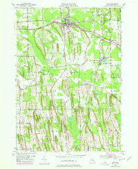
1952 Map of Sodus
USGS Topo · Published 1978About this map
The village of Sodus stands as a central hub in this mid-century New York landscape, situated at the intersection of prominent transport routes like Ridge Road and the New York Central railroad. The terrain is defined by the unique north-south drumlin formations characteristic of the Lake Ontario plains, including prominent rises like Governor Hill and the long spine of Maple Ridge. These glacial features dictate the drainage patterns of Salmon Creek and its various tributaries that wind through the townships of Sodus, Arcadia, and Lyons.
Find a feature on this map
61 named features on this map. Tap any name to fly to it.
Don’t see what you’re looking for? This feature index may not catch every label — zoom into the map to look around manually.
Map Details
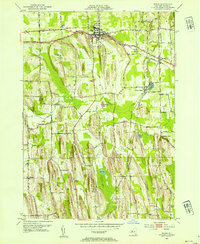
Editions of this 1952 Sodus Map
2 editions found
Other maps of this area

1899 · Palmyra
USGS Topo · 1:62,500

1902 · Sodus Bay
USGS Topo · 1:62,500

1902 · Pultneyville
USGS Topo · 1:62,500

1902 · Clyde
USGS Topo · 1:62,500

1902 · Palmyra
USGS Topo · 1:62,500

1942 · Pultneyville
USGS Topo · 1:31,680

1943 · Lyons
USGS Topo · 1:31,680

1943 · Williamson
USGS Topo · 1:31,680

1943 · Sodus Point
USGS Topo · 1:31,680

1943 · Sodus
USGS Topo · 1:31,680