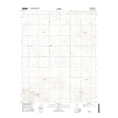
2017 Map of Sofia
USGS Topo · Published 2017About this map
Sofia serves as the central point of this Northeastern New Mexico landscape, situated at the intersection of Sofia Rd and Co Rd A006. The settlement pattern is defined by a sparse grid of county roads that navigate the high plains of Union County, reflecting the area's agricultural and ranching heritage. To the west of the main settlement lies the Sofia Cem, a significant marker for local genealogical research and family histories in this part of the state.
Find a feature on this map
17 named features on this map. Tap any name to fly to it.
Don’t see what you’re looking for? This feature index may not catch every label — zoom into the map to look around manually.
Map Details
Editions of this 2017 Sofia Map
This is the sole edition of this map. No revisions or reprints were ever made.
Other maps of this area

1954 · Dalhart
USGS Topo · 1:250,000

1958 · Dalhart
USGS Topo · 1:250,000

1962 · Dalhart
USGS Topo · 1:250,000

1972 · Malpie Mountain
USGS Topo · 1:24,000

1972 · Cow Mountain
USGS Topo · 1:24,000

1973 · Gladstone NW
USGS Topo · 1:24,000

1973 · Grenville SW
USGS Topo · 1:24,000

1973 · Tripod Mountain
USGS Topo · 1:24,000

1973 · Sofia
USGS Topo · 1:24,000

1973 · Romero Spring
USGS Topo · 1:24,000