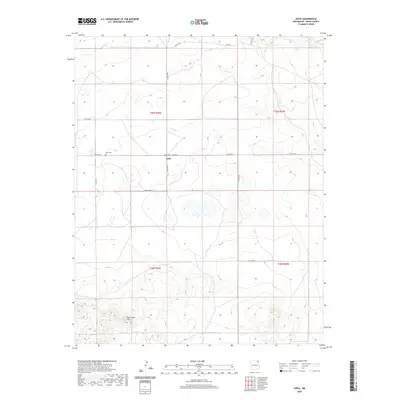
2020 Map of Sofia
USGS Topo · Published 2020About this map
The settlement of Sofia centers this high plains landscape in Union County, where the grid of the Public Land Survey System meets a sparse network of county roads. The terrain is defined by its drainage patterns, notably the path of Carrizo Cr in the northeastern corner and the winding course of Cedar Cr further south. These intermittent watercourses and the surrounding topography indicate a ranching or agricultural environment where human presence is concentrated along vital transit corridors like Sofia Rd and Belcheff Rd. This survey documents the modern layout of the region, illustrating how the townships of t26n r29e, t26n r30e, t25n r29e, and t25n r30e are partitioned by long, straight sections of roadway such as Co Rd A006 and Co Rd A008, which facilitate movement across the wide open reaches of northeastern New Mexico.
Find a feature on this map
15 named features on this map. Tap any name to fly to it.
Don’t see what you’re looking for? This feature index may not catch every label — zoom into the map to look around manually.
Map Details
Editions of this 2020 Sofia Map
This is the sole edition of this map. No revisions or reprints were ever made.
Other maps of this area

1954 · Dalhart
USGS Topo · 1:250,000

1958 · Dalhart
USGS Topo · 1:250,000

1962 · Dalhart
USGS Topo · 1:250,000

1972 · Malpie Mountain
USGS Topo · 1:24,000

1972 · Cow Mountain
USGS Topo · 1:24,000

1973 · Gladstone NW
USGS Topo · 1:24,000

1973 · Grenville SW
USGS Topo · 1:24,000

1973 · Tripod Mountain
USGS Topo · 1:24,000

1973 · Sofia
USGS Topo · 1:24,000

1973 · Romero Spring
USGS Topo · 1:24,000