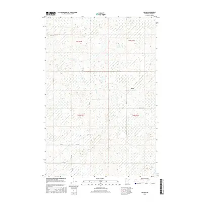
2016 Map of Solana
USGS Topo · Published 2016About this map
Solana serves as the central focal point in this Aitkin County landscape, situated within a vast wetland-dominated terrain where the Snake River meanders through the northern and central sections. The settlement pattern is defined by a sparse grid of forest and county roads, reflecting the region's historical ties to timber and rural trade. To the south, Chelsey Brook cuts through the lowlands, while unique local names like Fur Buyer Rd hint at the area's legacy of trapping and forest commerce. The map provides a clear look at the township boundaries between t45n r23w and t44n r22w, showing a landscape largely unchanged in its fundamental drainage and transit corridors. Highlighting the intersection of Co Rd 26 and several timber access routes such as Herubin Forest Rd, the geography is a detailed study of Minnesota's north-woods interior.
Find a feature on this map
18 named features on this map. Tap any name to fly to it.
Don’t see what you’re looking for? This feature index may not catch every label — zoom into the map to look around manually.
Map Details
Editions of this 2016 Solana Map
This is the sole edition of this map. No revisions or reprints were ever made.
Other maps of this area

1953 · Duluth
USGS Topo · 1:250,000

1958 · Duluth
USGS Topo · 1:250,000

1968 · Kroschel NW
USGS Topo · 1:24,000

1968 · Giese
USGS Topo · 1:24,000

1968 · Mc Grath
USGS Topo · 1:24,000

1969 · Solana
USGS Topo · 1:24,000

1969 · Arthyde
USGS Topo · 1:24,000

1969 · Thor NE
USGS Topo · 1:24,000

1969 · Thor SE
USGS Topo · 1:24,000

1969 · Split Rock Lake
USGS Topo · 1:24,000