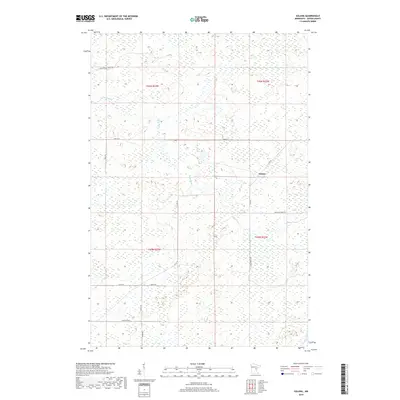
2019 Map of Solana
USGS Topo · Published 2019About this map
Solana sits at a remote junction in eastern Aitkin County, defined by a landscape of wetlands and winding watercourses. The Snake River meanders through the northwestern sections of the quadrangle, while Chelsey Brook drains the southeastern corner. This area of Minnesota is characterized by its dense network of forest roads and rural lanes, such as E White Pine Forest Rd and Herubin Forest Rd, which navigate the low-lying terrain. The naming of Fur Buyer Rd and Swamp Rd reflects the historical and ecological character of this region, where the timber and trapping economy long preceded modern development. Large tracts of land remain sparsely populated, with the Public Land Survey System grid of t45n r23w and t44n r22w overlaying a complex hydrology of unnamed marshes and bogs.
Find a feature on this map
18 named features on this map. Tap any name to fly to it.
Don’t see what you’re looking for? This feature index may not catch every label — zoom into the map to look around manually.
Map Details
Editions of this 2019 Solana Map
This is the sole edition of this map. No revisions or reprints were ever made.
Other maps of this area

1953 · Duluth
USGS Topo · 1:250,000

1958 · Duluth
USGS Topo · 1:250,000

1968 · Kroschel NW
USGS Topo · 1:24,000

1968 · Giese
USGS Topo · 1:24,000

1968 · Mc Grath
USGS Topo · 1:24,000

1969 · Solana
USGS Topo · 1:24,000

1969 · Arthyde
USGS Topo · 1:24,000

1969 · Thor NE
USGS Topo · 1:24,000

1969 · Thor SE
USGS Topo · 1:24,000

1969 · Split Rock Lake
USGS Topo · 1:24,000