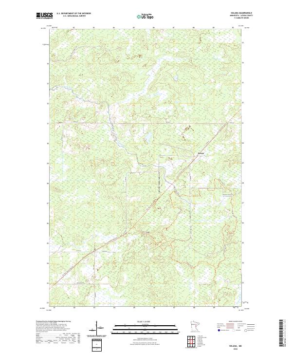
2022 Map of Solana
USGS Topo · Published 2022About this map
The settlement of Solana occupies a central position within this portion of Aitkin County, characterized by a complex network of wetlands and forested terrain. Modern land use and recreation are reflected in the extensive trail systems that crisscross the landscape, most notably the Soo Line South: Aitkin Trl, which follows a former railroad corridor through the territory. This linear feature is joined by several others, including the Solana Loop Trl and the Snake River Trl, indicating the transformation of industrial transportation routes into recreational assets.
Find a feature on this map
21 named features on this map. Tap any name to fly to it.
Don’t see what you’re looking for? This feature index may not catch every label — zoom into the map to look around manually.
Map Details
Editions of this 2022 Solana Map
This is the sole edition of this map. No revisions or reprints were ever made.
Other maps of this area

1953 · Duluth
USGS Topo · 1:250,000

1958 · Duluth
USGS Topo · 1:250,000

1968 · Kroschel NW
USGS Topo · 1:24,000

1968 · Giese
USGS Topo · 1:24,000

1968 · Mc Grath
USGS Topo · 1:24,000

1969 · Solana
USGS Topo · 1:24,000

1969 · Arthyde
USGS Topo · 1:24,000

1969 · Thor NE
USGS Topo · 1:24,000

1969 · Thor SE
USGS Topo · 1:24,000

1969 · Split Rock Lake
USGS Topo · 1:24,000