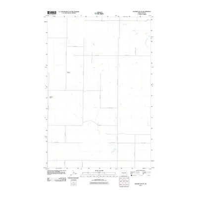
2011 Map of Solberg Butte
USGS Topo · Published 2011About this map
Swedish Cemetery stands as a quiet landmark in the prairie landscape of north-central Burleigh County, marking the cultural heritage of the early families who settled this portion of the northern plains. This terrain is defined by the prominent rise of Solberg Butte and the meandering drainage of West Branch Apple Creek. A precise grid of section roads, including 119th St NE and 156th Ave NE, organizes the agricultural landscape into neat parcels, reflecting the enduring legacy of the Public Land Survey System. The presence of County Hwy 1804 provides a primary north-south corridor through these grasslands, connecting dispersed farmsteads and rural infrastructure within this sparsely populated but historically significant corner of North Dakota.
Find a feature on this map
16 named features on this map. Tap any name to fly to it.
Don’t see what you’re looking for? This feature index may not catch every label — zoom into the map to look around manually.
Map Details
Editions of this 2011 Solberg Butte Map
This is the sole edition of this map. No revisions or reprints were ever made.
Other maps of this area

1907 · Bismarck
USGS Topo · 1:125,000

1951 · Menoken SW
USGS Topo · 1:24,000

1951 · Menoken
USGS Topo · 1:62,500

1951 · McKenzie
USGS Topo · 1:62,500

1954 · Bismarck
USGS Topo · 1:250,000

1954 · McClusky
USGS Topo · 1:250,000

1958 · Bismarck
USGS Topo · 1:250,000

1958 · McClusky
USGS Topo · 1:250,000

1962 · Menoken SW
USGS Topo · 1:24,000

1975 · McKenzie
USGS Topo · 1:24,000