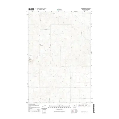
2014 Map of Solberg Butte
USGS Topo · Published 2014About this map
Swedish Cem stands as a quiet reminder of the Scandinavian settlers who moved into the open plains of Burleigh County. Located along 136th Ave NE, this small burial ground is the primary historic marker in an area defined by a strict grid of section roads and the winding path of W Br Apple Cr. The terrain is characterized by the prominent elevation of Solberg Butte in the western section, rising above the surrounding prairie. This 2014 survey documents the enduring agricultural layout of the region, where north-south corridors like 119th St NE and east-west routes such as 123rd Ave NE organize the landscape into large-scale farming tracts. The map illustrates a rural landscape that has remained remarkably consistent in its spatial organization since the early days of settlement.
Find a feature on this map
20 named features on this map. Tap any name to fly to it.
Don’t see what you’re looking for? This feature index may not catch every label — zoom into the map to look around manually.
Map Details
Editions of this 2014 Solberg Butte Map
This is the sole edition of this map. No revisions or reprints were ever made.
Other maps of this area

1907 · Bismarck
USGS Topo · 1:125,000

1951 · Menoken SW
USGS Topo · 1:24,000

1951 · Menoken
USGS Topo · 1:62,500

1951 · McKenzie
USGS Topo · 1:62,500

1954 · Bismarck
USGS Topo · 1:250,000

1954 · McClusky
USGS Topo · 1:250,000

1958 · Bismarck
USGS Topo · 1:250,000

1958 · McClusky
USGS Topo · 1:250,000

1962 · Menoken SW
USGS Topo · 1:24,000

1975 · McKenzie
USGS Topo · 1:24,000