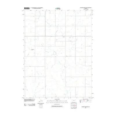
2009 Map of Soldier Creek NW
USGS Topo · Published 2009About this map
Soldier Creek meanders through the pastoral landscape of Jackson County, carving a path across a countryside defined by the section-line roads of the rural Midwest. This agricultural region is punctuated by long-standing landmarks such as the Olive Hill Cemetery and Boan Cemetery, which serve as vital reference points for genealogical research in the area. The settlement pattern is largely dispersed, though the name Oak Mills Bend along the western edge suggests localized historical activity. Waterways like Little Cross Creek intersect the grid of named thoroughfares, including E Rd and 214 Rd, illustrating how the natural drainage patterns dictated early land use and the eventual placement of farmsteads across this portion of Kansas.
Find a feature on this map
20 named features on this map. Tap any name to fly to it.
Don’t see what you’re looking for? This feature index may not catch every label — zoom into the map to look around manually.
Map Details
Editions of this 2009 Soldier Creek NW Map
This is the sole edition of this map. No revisions or reprints were ever made.
Other maps of this area

1888 · Hiawatha
USGS Topo · 1:125,000

1889 · Seneca
USGS Topo · 1:125,000

1889 · Wamego
USGS Topo · 1:125,000

1889 · Topeka
USGS Topo · 1:125,000

1894 · Seneca
USGS Topo · 1:125,000

1894 · Topeka
USGS Topo · 1:125,000

1894 · Hiawatha
USGS Topo · 1:125,000

1894 · Wamego
USGS Topo · 1:125,000

1950 · Kansas City
USGS Topo · 1:250,000

1954 · Kansas City
USGS Topo · 1:250,000