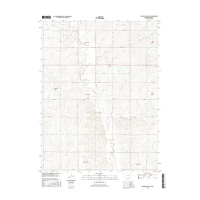
2015 Map of Soldier Creek NW
USGS Topo · Published 2015About this map
Soldier Creek meanders through the heart of this Jackson County landscape, carving a valley defined by the distinctive Oak Mills Bend. The terrain is strictly partitioned by the Public Land Survey System, with the boundaries of t6s r13e and t7s r13e organizing the rural layout. A network of section-line roads, including 246th Rd and 182nd Rd, provides the structure for local transit between family holdings and agricultural plots. Genealogists will find interest in the preserved locations of Olive Hill Cemetery and Boan Cemetery, which serve as quiet landmarks of the area's long-standing community roots. To the southwest, the smaller Little Cross Creek joins the drainage system, illustrating the natural water management that has shaped farming in this part of Kansas for generations.
Find a feature on this map
22 named features on this map. Tap any name to fly to it.
Don’t see what you’re looking for? This feature index may not catch every label — zoom into the map to look around manually.
Map Details
Editions of this 2015 Soldier Creek NW Map
This is the sole edition of this map. No revisions or reprints were ever made.
Other maps of this area

1888 · Hiawatha
USGS Topo · 1:125,000

1889 · Seneca
USGS Topo · 1:125,000

1889 · Wamego
USGS Topo · 1:125,000

1889 · Topeka
USGS Topo · 1:125,000

1894 · Seneca
USGS Topo · 1:125,000

1894 · Topeka
USGS Topo · 1:125,000

1894 · Hiawatha
USGS Topo · 1:125,000

1894 · Wamego
USGS Topo · 1:125,000

1950 · Kansas City
USGS Topo · 1:250,000

1954 · Kansas City
USGS Topo · 1:250,000