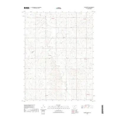
2018 Map of Soldier Creek NW
USGS Topo · Published 2018About this map
Soldier Cr and its tributary Little Cross Cr carve through the agricultural landscape of Jackson County, shaping the rural development of this region. The 2018 survey reveals a landscape organized by a precise grid of section lines and range boundaries, including t7s r13e and t7s r14e, where long-established family names are preserved in the geography. Distinctive landmarks such as the Oak-Mills- Bend along the creek bank highlight localized naming traditions that persist even as the surrounding terrain remains primarily pastoral. Genealogists will find particular value in the documentation of local burial sites, specifically Olive Hill-Cem and Boan Cem, which serve as permanent markers of the area's early families and pioneer history in this corner of Kansas.
Find a feature on this map
23 named features on this map. Tap any name to fly to it.
Don’t see what you’re looking for? This feature index may not catch every label — zoom into the map to look around manually.
Map Details
Editions of this 2018 Soldier Creek NW Map
This is the sole edition of this map. No revisions or reprints were ever made.
Other maps of this area

1888 · Hiawatha
USGS Topo · 1:125,000

1889 · Seneca
USGS Topo · 1:125,000

1889 · Wamego
USGS Topo · 1:125,000

1889 · Topeka
USGS Topo · 1:125,000

1894 · Seneca
USGS Topo · 1:125,000

1894 · Topeka
USGS Topo · 1:125,000

1894 · Hiawatha
USGS Topo · 1:125,000

1894 · Wamego
USGS Topo · 1:125,000

1950 · Kansas City
USGS Topo · 1:250,000

1954 · Kansas City
USGS Topo · 1:250,000