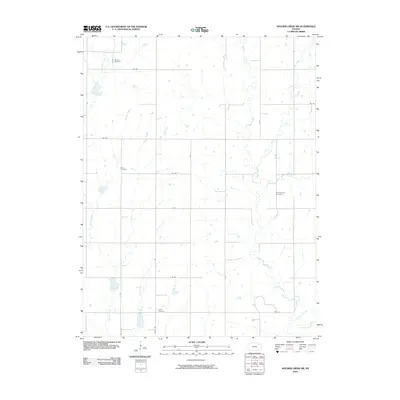
2009 Map of Soldier Creek SW
USGS Topo · Published 2009About this map
Soldier Creek and its many tributaries, including South Branch Soldier Creek and Crow Creek, define the drainage patterns of this rural landscape in Jackson County. The terrain is organized by a strict section-line road grid, with routes such as 150 Rd and 126 Rd providing access to the agrarian interior. This 2009 survey highlights the presence of several community burial sites, which serve as primary landmarks for genealogists and local historians. Shields Cemetery, Adrian Cemetery, Delia Cemetery, and Danceground Cemetery are situated throughout the quadrangle, often near the upper reaches of local waterways like Sullivan Creek and Illinois Creek. The lack of concentrated urban development suggests a long-standing continuity of land use, where the intersection of rural roads and the meandering paths of Salt Creek and James Creek characterize the local geography.
Find a feature on this map
29 named features on this map. Tap any name to fly to it.
Don’t see what you’re looking for? This feature index may not catch every label — zoom into the map to look around manually.
Map Details
Editions of this 2009 Soldier Creek SW Map
This is the sole edition of this map. No revisions or reprints were ever made.
Other maps of this area

1889 · Wamego
USGS Topo · 1:125,000

1889 · Topeka
USGS Topo · 1:125,000

1894 · Topeka
USGS Topo · 1:125,000

1894 · Wamego
USGS Topo · 1:125,000

1950 · Kansas City
USGS Topo · 1:250,000

1952 · Rossville
USGS Topo · 1:24,000

1952 · Grove
USGS Topo · 1:24,000

1953 · St Marys
USGS Topo · 1:24,000

1954 · Kansas City
USGS Topo · 1:250,000

1955 · Manhattan
USGS Topo · 1:250,000