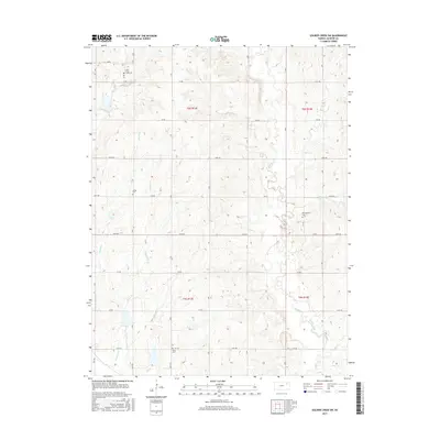
2015 Map of Soldier Creek SW
USGS Topo · Published 2015About this map
Soldier Creek and its many tributaries, including the South Branch Soldier Creek and Crow Creek, define the drainage patterns of this Jackson County landscape. The area is characterized by a grid of rural section-line roads, such as 150th Road and 118th Road, that navigate the undulating terrain between creek valleys. This network of roads connects several small local burial grounds, which serve as primary landmarks for genealogical research in this part of Kansas. These sites, including Little Cross Creek Cemetery in the north and Delia Cemetery near the southern border, are often situated on higher ground overlooking the surrounding watercourses like Little Cross Creek and Sullivan Creek. The map provides a clear look at the township and range boundaries that organized these farmsteads and rural properties into the 21st century.
Find a feature on this map
29 named features on this map. Tap any name to fly to it.
Don’t see what you’re looking for? This feature index may not catch every label — zoom into the map to look around manually.
Map Details
Editions of this 2015 Soldier Creek SW Map
This is the sole edition of this map. No revisions or reprints were ever made.
Other maps of this area

1889 · Wamego
USGS Topo · 1:125,000

1889 · Topeka
USGS Topo · 1:125,000

1894 · Topeka
USGS Topo · 1:125,000

1894 · Wamego
USGS Topo · 1:125,000

1950 · Kansas City
USGS Topo · 1:250,000

1952 · Rossville
USGS Topo · 1:24,000

1952 · Grove
USGS Topo · 1:24,000

1953 · St Marys
USGS Topo · 1:24,000

1954 · Kansas City
USGS Topo · 1:250,000

1955 · Manhattan
USGS Topo · 1:250,000