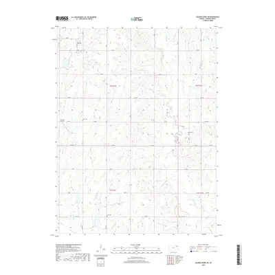
2018 Map of Soldier Creek SW
USGS Topo · Published 2018About this map
Soldier Creek and its southern branches define the rolling topography of this rural Jackson County landscape, where a dense network of sectional roads connects long-standing local landmarks. The map documents several significant community sites, including the Danceground Cem and Little Cross Creek Cem, alongside the Delia Cem and Adrian Cem. These burial grounds serve as vital points of reference for genealogical research in this part of Kansas. The terrain is deeply etched by a complex drainage system featuring Sullivan Cr, Illinois Cr, and Salt Cr, which have shaped the agricultural layout of the region. A distinctive modern addition to the landscape is the Get Away Runway, located in the western portion of the quadrangle. The map captures the persistent grid of rural infrastructure, from 178 RD in the north to 118th RD at the southern boundary, reflecting the enduring township and range organization of the prairie.
Find a feature on this map
31 named features on this map. Tap any name to fly to it.
Don’t see what you’re looking for? This feature index may not catch every label — zoom into the map to look around manually.
Map Details
Editions of this 2018 Soldier Creek SW Map
This is the sole edition of this map. No revisions or reprints were ever made.
Other maps of this area

1889 · Wamego
USGS Topo · 1:125,000

1889 · Topeka
USGS Topo · 1:125,000

1894 · Topeka
USGS Topo · 1:125,000

1894 · Wamego
USGS Topo · 1:125,000

1950 · Kansas City
USGS Topo · 1:250,000

1952 · Rossville
USGS Topo · 1:24,000

1952 · Grove
USGS Topo · 1:24,000

1953 · St Marys
USGS Topo · 1:24,000

1954 · Kansas City
USGS Topo · 1:250,000

1955 · Manhattan
USGS Topo · 1:250,000