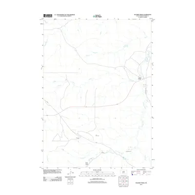
2012 Map of Soldier Creek
USGS Topo · Published 2012About this map
Little White River meanders through the heart of this Todd County landscape, defining a region where water and relief create distinct landmarks within the Rosebud area. The settlement of Soldier Creek sits along the river's eastern banks, serving as a focal point for the surrounding prairie and canyon lands. The terrain is marked by significant topographical features such as Crazy Horse Canyon and the valley of Scabby Cr, which provide a contrast to the flatter uplands.
Find a feature on this map
17 named features on this map. Tap any name to fly to it.
Don’t see what you’re looking for? This feature index may not catch every label — zoom into the map to look around manually.
Map Details
Editions of this 2012 Soldier Creek Map
This is the sole edition of this map. No revisions or reprints were ever made.
Other maps of this area

1955 · Martin
USGS Topo · 1:250,000

1958 · Martin
USGS Topo · 1:250,000

1969 · Soldier Creek NE
USGS Topo · 1:24,000

1969 · Parmelee NE
USGS Topo · 1:24,000

1969 · Soldier Creek
USGS Topo · 1:24,000

1969 · Parmelee
USGS Topo · 1:24,000

1969 · Soldier Creek NW
USGS Topo · 1:24,000

1969 · Iron Shell Flat East
USGS Topo · 1:24,000

1969 · Soldier Creek SE
USGS Topo · 1:24,000

1969 · Rosebud
USGS Topo · 1:24,000
Featured Places
- Rosebud, SD
- Grass Mountain Segment, SD
- Soldier Creek, Soldier Creek Segment
- Parmelee, SD
- Ring Thunder Segment, SD