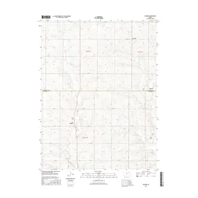
2015 Map of Soldier
USGS Topo · Published 2015About this map
The town of Soldier serves as a primary local hub in this rural landscape along the northern edge of Jackson County. Situated near the winding course of Soldier Cr, the settlement is defined by a traditional grid including Friend St, with the Soldier Cem located just to the north. The map documents a sparsely populated agricultural region during the early 21st century, where section roads such as 270th Rd and 278th Rd connect isolated homesteads and small communities. To the north and east, the small settlements of Bancroft and Ontario remain visible markers of local history near the boundary of Nemaha County. Waterways like Mosquito Cr and Elk Cr drain the undulating terrain, which is primarily organized around long-standing township and range lines. Genealogists and historians will find the exact placement of cemeteries and surviving village footprints valuable for tracing the 2015 layout of this corner of Kansas.
Find a feature on this map
26 named features on this map. Tap any name to fly to it.
Don’t see what you’re looking for? This feature index may not catch every label — zoom into the map to look around manually.
Map Details
Editions of this 2015 Soldier Map
This is the sole edition of this map. No revisions or reprints were ever made.
Other maps of this area

1888 · Hiawatha
USGS Topo · 1:125,000

1889 · Seneca
USGS Topo · 1:125,000

1889 · Wamego
USGS Topo · 1:125,000

1889 · Topeka
USGS Topo · 1:125,000

1894 · Seneca
USGS Topo · 1:125,000

1894 · Topeka
USGS Topo · 1:125,000

1894 · Hiawatha
USGS Topo · 1:125,000

1894 · Wamego
USGS Topo · 1:125,000

1950 · Kansas City
USGS Topo · 1:250,000

1954 · Kansas City
USGS Topo · 1:250,000