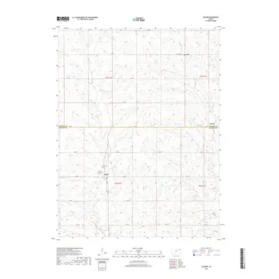
2018 Map of Soldier
USGS Topo · Published 2018About this map
Soldier sits at the heart of this rural Jackson County landscape, where the local street grid including Friend St and Logan St transitions into a network of section-line roads. The topography is defined by the winding course of Soldier Creek and its tributaries, such as Elk Creek and Mosquito Creek, which carve through the agricultural uplands. Smaller settlements like Bancroft and Ontario anchor the northern reaches of the map, illustrating the persistent small-town footprint in northeastern Kansas.
Find a feature on this map
27 named features on this map. Tap any name to fly to it.
Don’t see what you’re looking for? This feature index may not catch every label — zoom into the map to look around manually.
Map Details
Editions of this 2018 Soldier Map
This is the sole edition of this map. No revisions or reprints were ever made.
Other maps of this area

1888 · Hiawatha
USGS Topo · 1:125,000

1889 · Seneca
USGS Topo · 1:125,000

1889 · Wamego
USGS Topo · 1:125,000

1889 · Topeka
USGS Topo · 1:125,000

1894 · Seneca
USGS Topo · 1:125,000

1894 · Topeka
USGS Topo · 1:125,000

1894 · Hiawatha
USGS Topo · 1:125,000

1894 · Wamego
USGS Topo · 1:125,000

1950 · Kansas City
USGS Topo · 1:250,000

1954 · Kansas City
USGS Topo · 1:250,000