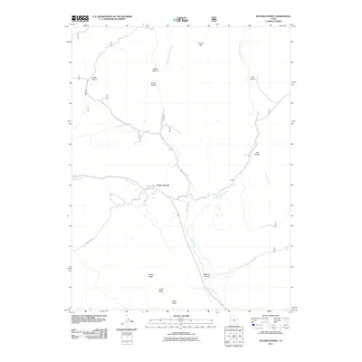
2011 Map of Soldier Summit
USGS Topo · Published 2011About this map
Soldier Summit sits at a critical mountain pass in the Wasatch Range, serving as a high-altitude drainage divide for the White River and Soldier Creek. This 2011 survey illustrates a landscape defined by its deep canyons and prominent ridges, including Aagard Ridge and Road Ridge to the south. The convergence of the Middle Fork, Left Fork, and Right Fork of the White River creates a complex drainage network that has dictated travel and settlement in this corridor for generations.
Find a feature on this map
21 named features on this map. Tap any name to fly to it.
Don’t see what you’re looking for? This feature index may not catch every label — zoom into the map to look around manually.
Map Details
Editions of this 2011 Soldier Summit Map
This is the sole edition of this map. No revisions or reprints were ever made.
Other maps of this area

1885 · Salt Lake
USGS Topo · 1:250,000

1885 · Manti
USGS Topo · 1:250,000

1885 · Uinta
USGS Topo · 1:250,000

1886 · Price River
USGS Topo · 1:250,000

1895 · Manti
USGS Topo · 1:250,000

1896 · Price River
USGS Topo · 1:250,000

1907 · Strawberry Valley
USGS Topo · 1:125,000

1909 · Strawberry Valley
USGS Topo · 1:125,000

1939 · Soldier Summit
USGS Topo · 1:62,500

1942 · Soldier Summit
USGS Topo · 1:62,500