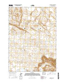
2017 Map of Soldiers Cap
USGS Topo · Published 2017About this map
Soldiers Cap rises above a high-desert landscape in Deschutes County, defined by its scattered waterholes and seasonal lakebeds. This 2017 survey shows a region largely untouched by development, where the terrain transitions between the open expanse of Boles Flat and the depressions of Firestone Basin. Water sources are the primary landmarks for those navigating this area, ranging from the small basins of Little Mud Lake and Squaw Lake to human-made or named catchments like Viewpoint Waterhole and Baldwin Waterhole. In the southern portion of the quadrangle, Porcupine Lake and Grouse Lake sit amidst the high contours, illustrating the subtle hydrology that sustains local wildlife and grazing. The map meticulously records the township and range lines, such as the boundary between t21s r17e and t21s r18e, providing essential reference points for land management and environmental study in the Oregon interior.
Find a feature on this map
13 named features on this map. Tap any name to fly to it.
Don’t see what you’re looking for? This feature index may not catch every label — zoom into the map to look around manually.
Map Details
Editions of this 2017 Soldiers Cap Map
This is the sole edition of this map. No revisions or reprints were ever made.
Other maps of this area

1955 · Crescent
USGS Topo · 1:250,000

1957 · Crescent
USGS Topo · 1:250,000

1958 · Crescent
USGS Topo · 1:250,000
1967 · Brothers SW
USGS Topo · 1:24,000
1967 · Brothers
USGS Topo · 1:24,000

1970 · Crescent
USGS Topo · 1:250,000
1983 · Soldiers Cap
USGS Topo · 1:24,000

1983 · Imperial Valley South
USGS Topo · 1:24,000
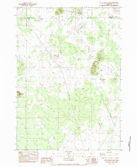
1983 · Last Chance Lake
USGS Topo · 1:24,000
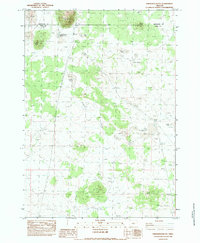
1983 · Frederick Butte
USGS Topo · 1:24,000