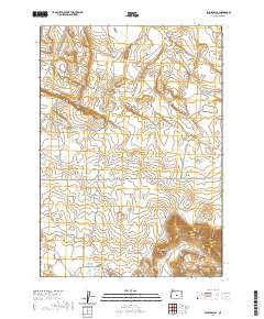
2020 Map of Soldiers Cap
USGS Topo · Published 2020About this map
Soldiers Cap rises above the high desert floor in this Deschutes County quadrangle, where the landscape is defined by the critical management of water in an arid environment. The presence of Baldwin Waterhole, Viewpoint Waterhole, and Firestone Basin illustrates the historical and contemporary reliance on localized catchment systems for livestock and wildlife. These features, scattered across the expansive Boles Flat, serve as vital landmarks for understanding land use in this corner of central Oregon.
Find a feature on this map
11 named features on this map. Tap any name to fly to it.
Don’t see what you’re looking for? This feature index may not catch every label — zoom into the map to look around manually.
Map Details
Editions of this 2020 Soldiers Cap Map
This is the sole edition of this map. No revisions or reprints were ever made.
Other maps of this area

1955 · Crescent
USGS Topo · 1:250,000

1957 · Crescent
USGS Topo · 1:250,000

1958 · Crescent
USGS Topo · 1:250,000
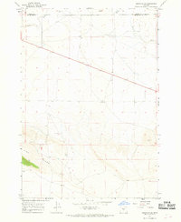
1967 · Brothers SW
USGS Topo · 1:24,000
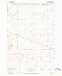
1967 · Brothers
USGS Topo · 1:24,000

1970 · Crescent
USGS Topo · 1:250,000
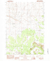
1983 · Soldiers Cap
USGS Topo · 1:24,000

1983 · Imperial Valley South
USGS Topo · 1:24,000
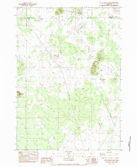
1983 · Last Chance Lake
USGS Topo · 1:24,000
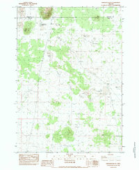
1983 · Frederick Butte
USGS Topo · 1:24,000