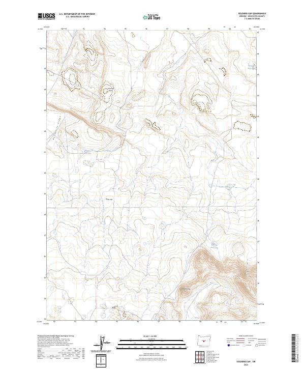
2024 Map of Soldiers Cap
USGS Topo · Published 2024About this map
Soldiers Cap rises prominently over the high desert landscape of eastern Deschutes County, serving as a primary landmark in this arid expanse of the Oregon interior. The terrain is defined by basaltic ridges and broad volcanic basins, where the 2024 USGS mapping details a system of essential water sources for range management and wildlife. Along the western edge, Moonshine Ridge provides a distinct vertical boundary, while the interior is marked by topographic depressions such as Firestone Basin and the wide expanse of Boles Flat. Named water features, including Viewpoint Waterhole and Baldwin Waterhole, indicate the critical role of moisture management in this region. This contemporary survey clarifies the relationship between the dramatic volcanic landforms and the seasonal hydrology found at Little Mud Lake and Braken Lake.
Find a feature on this map
12 named features on this map. Tap any name to fly to it.
Don’t see what you’re looking for? This feature index may not catch every label — zoom into the map to look around manually.
Map Details
Editions of this 2024 Soldiers Cap Map
This is the sole edition of this map. No revisions or reprints were ever made.
Other maps of this area

1955 · Crescent
USGS Topo · 1:250,000

1957 · Crescent
USGS Topo · 1:250,000

1958 · Crescent
USGS Topo · 1:250,000
1967 · Brothers SW
USGS Topo · 1:24,000
1967 · Brothers
USGS Topo · 1:24,000

1970 · Crescent
USGS Topo · 1:250,000
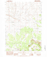
1983 · Soldiers Cap
USGS Topo · 1:24,000

1983 · Imperial Valley South
USGS Topo · 1:24,000
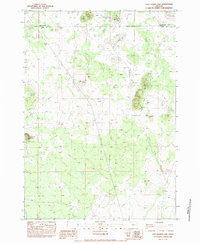
1983 · Last Chance Lake
USGS Topo · 1:24,000
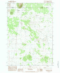
1983 · Frederick Butte
USGS Topo · 1:24,000