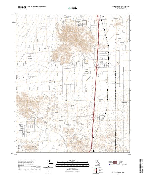
2021 Map of Soledad Mountain
USGS Topo · Published 2021About this map
Soledad Mtn dominates this western edge of the Mojave Desert in Kern County, rising above a network of desert roads and small settlements. The landscape is characterized by prominent geological features such as Gem Hill, Fiss Hill, and Tropico Hill, which break the alluvial plains. This 2021 survey illustrates a region defined by scattered residential development and historical mining and aviation ties, including the presence of Pontious Airport.
Find a feature on this map
70 named features on this map. Tap any name to fly to it.
Don’t see what you’re looking for? This feature index may not catch every label — zoom into the map to look around manually.
Map Details
Editions of this 2021 Soledad Mountain Map
This is the sole edition of this map. No revisions or reprints were ever made.
Other maps of this area

1915 · Elizabeth Lake
USGS Topo · 1:125,000

1915 · Mojave
USGS Topo · 1:125,000

1917 · Elizabeth Lake
USGS Topo · 1:125,000

1943 · Rosamond
USGS Topo · 1:62,500

1943 · Tehachapi
USGS Topo · 1:62,500

1943 · Mojave
USGS Topo · 1:62,500

1943 · Willow Springs
USGS Topo · 1:62,500
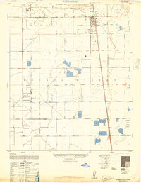
1947 · Rosamond
USGS Topo · 1:24,000

1947 · Plano
USGS Topo · 1:24,000

1947 · Mojave
USGS Topo · 1:24,000