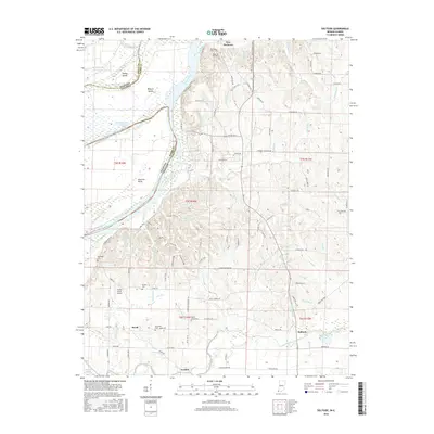
2016 Map of Solitude
USGS Topo · Published 2016About this map
Wabash River meanders along the Illinois Indiana border, creating a complex landscape of oxbows and islands like Turkey Island and Ribeyre Island. The floodplains transition into the dissected uplands of Posey County, where small agricultural communities and family-named landmarks define the interior. Genealogical interest is high in this corner of Indiana, with numerous burial grounds such as Harmonist Cem and Maple Hill Cem near New Harmony, alongside the French Cem and Alexander Cem further south near Savah. The map captures the persistence of small rural settlements like Solitude and Grafton, connected by a network of drainage-line roads and creek crossings. Features like Culley Acres Airport and Pahoka Camp Lake show the modern land use in a region historically shaped by the shifting course of the river.
Find a feature on this map
120 named features on this map. Tap any name to fly to it.
Don’t see what you’re looking for? This feature index may not catch every label — zoom into the map to look around manually.
Map Details
Editions of this 2016 Solitude Map
This is the sole edition of this map. No revisions or reprints were ever made.
Other maps of this area

1903 · New Harmony
USGS Topo · 1:62,500

1903 · Patoka
USGS Topo · 1:125,000

1905 · New Haven
USGS Topo · 1:62,500

1906 · New Haven
USGS Topo · 1:62,500

1917 · Uniontown
USGS Topo · 1:62,500

1938 · New Harmony
USGS Topo · 1:62,500

1940 · Carmi
USGS Topo · 1:62,500

1943 · Carmi
USGS Topo · 1:62,500

1949 · Paducah
USGS Topo · 1:250,000

1949 · New Haven
USGS Topo · 1:62,500