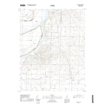
2019 Map of Solitude
USGS Topo · Published 2019About this map
New Harmony serves as the focal point for this survey of the riverine borderlands between Indiana and Illinois. The Wabash River meanders across the terrain, creating complex features like Turkey Island, Ribeyre Island, and Bowman Bend. The legacy of the early Harmonist community is visible in the landscape through the Harmonist Cem and Maple Hill Cem. Evidence of rural family settlements remains through numerous burial grounds, including the Alexander Cem, Beech Grove Cem, and French Cem, which are scattered among the many small drainages such as Rush Creek and Big Creek. Modern infrastructure is represented by the Culley Acres Airport and the SR69-Corridor, while a network of recreational paths like the Wabash Horse Trail and Bicycle Trail cut through the timbered sections of the river bottoms.
Find a feature on this map
123 named features on this map. Tap any name to fly to it.
Don’t see what you’re looking for? This feature index may not catch every label — zoom into the map to look around manually.
Map Details
Editions of this 2019 Solitude Map
This is the sole edition of this map. No revisions or reprints were ever made.
Other maps of this area

1903 · New Harmony
USGS Topo · 1:62,500

1903 · Patoka
USGS Topo · 1:125,000

1905 · New Haven
USGS Topo · 1:62,500

1906 · New Haven
USGS Topo · 1:62,500

1917 · Uniontown
USGS Topo · 1:62,500

1938 · New Harmony
USGS Topo · 1:62,500

1940 · Carmi
USGS Topo · 1:62,500

1943 · Carmi
USGS Topo · 1:62,500

1949 · Paducah
USGS Topo · 1:250,000

1949 · New Haven
USGS Topo · 1:62,500