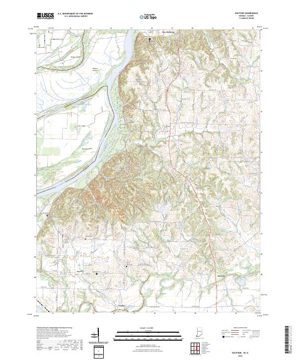
2022 Map of Solitude
USGS Topo · Published 2022About this map
The Wabash River carves the western boundary of Indiana in this detail of Posey County, revealing a complex fluvial landscape where the Wabash River Old Channel and numerous cutoffs like Bowman Bend define the state line. Near the northern edge, the historic settlement of New Harmony is documented alongside several significant burial grounds, including the Harmonist Cem and Maple Hill Cem. These sites reflect the unique communal history of the area, while smaller crossroads like Savah, Grafton, and the aptly named Solitude anchor the rural road network further south.
Find a feature on this map
121 named features on this map. Tap any name to fly to it.
Don’t see what you’re looking for? This feature index may not catch every label — zoom into the map to look around manually.
Map Details
Editions of this 2022 Solitude Map
This is the sole edition of this map. No revisions or reprints were ever made.
Other maps of this area

1903 · New Harmony
USGS Topo · 1:62,500

1903 · Patoka
USGS Topo · 1:125,000

1905 · New Haven
USGS Topo · 1:62,500

1906 · New Haven
USGS Topo · 1:62,500

1917 · Uniontown
USGS Topo · 1:62,500

1938 · New Harmony
USGS Topo · 1:62,500

1940 · Carmi
USGS Topo · 1:62,500

1943 · Carmi
USGS Topo · 1:62,500

1949 · Paducah
USGS Topo · 1:250,000

1949 · New Haven
USGS Topo · 1:62,500